![]()
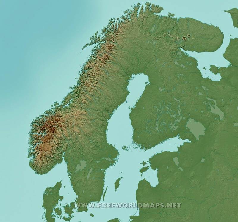
A simple printable map of Scandinavia, illustrating the coastline of the peninsula, one of the most rugged coastlines of the entire globe. Also shows the national country borders.
Click on above map to view higher resolution image


Could not find what you're looking for? Need a customized Scandinavia map? We can create the map for you!
Crop a region, add/remove features, change shape, different projections, adjust colors, even add your locations!


